Create a Vector Work - Part 8 - Walkthrough of GeoConcerns
Jun 7, 2016
Create a vector work
- What’s a vector work?
- Create the vector work
- Attach a shapefile
- Attach an external metadata file
- Build a Geoblacklight Solr document
What’s a vector work?
A vector work represents a geospatial vector dataset. Points, lines, polygons. Common formats include the shapefile and GeoJSON. In this case, the vector work represents the output of a feature extraction process that was run on the parent raster work.
Create the vector work
- On the show page of your Raster Work, create a child Vector Work.
- Click Attach Child and select Attach Vector Work
- On the new vector work form add a basic Title* field.
- Click Create Vector Work.
Attach a shapefile
- Attach a vector file to the work using the same process as the other works.
- This time the Type should be ESRI Shapefile.
-
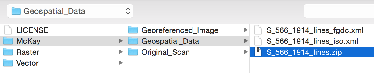
The file can be found at McKay / Geospatial_Data / S_566_1914_lines.zip
-
The shapefile is now attached to the vector work.
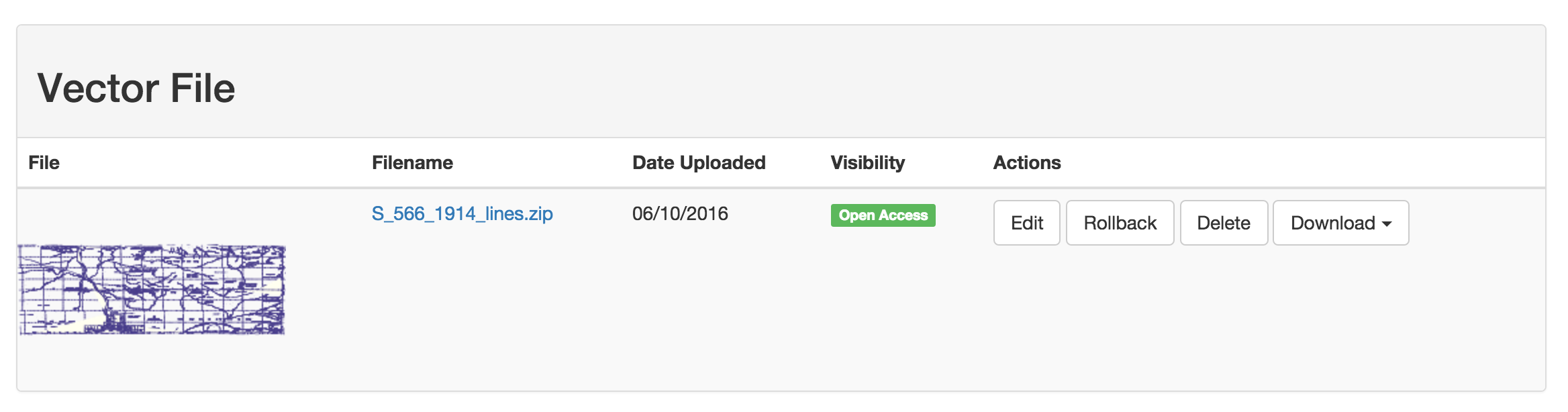
In GeoConcerns, file formats that are composed of multiple files (as in the Shapefile) must be zipped into a single file before uploading.
Attach an external metadata file
- Now, attach an FGDC external metadata to the work.
-
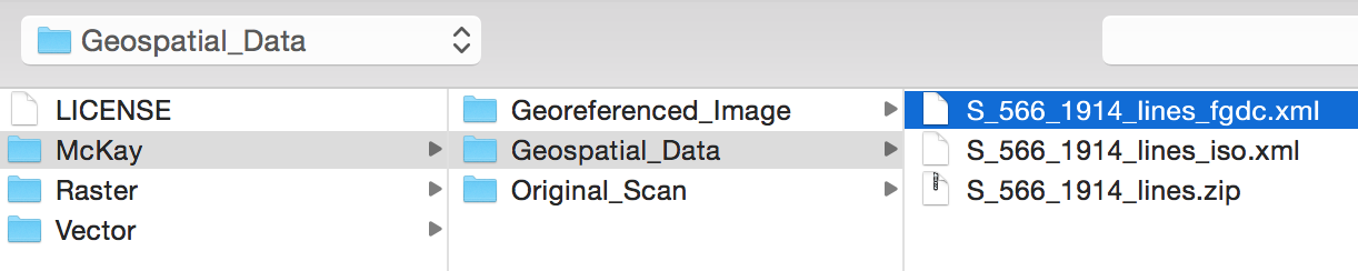
The file can be found at McKay / Geospatial_Data / S_566_1914_lines_fgdc.xml
-
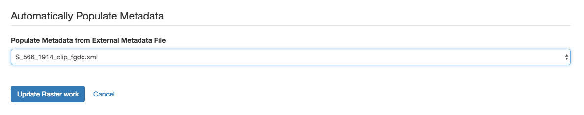
Once the file is attached, use it to populate the vector work attributes like you did with the raster work.
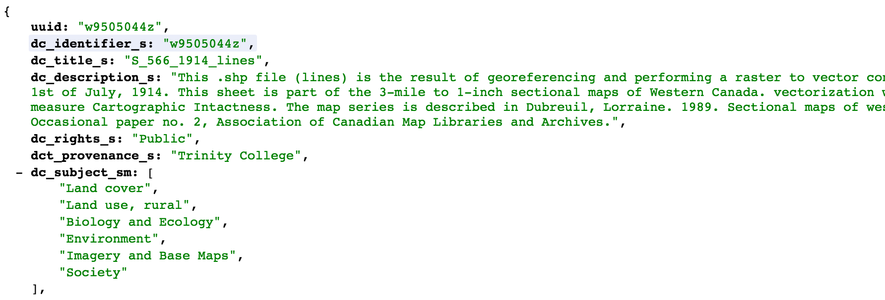
Build a Geoblacklight Solr document
GeoConcerns has the ability to generate documents for use in external discovery systems like Geoblacklight.
-
In the address bar for the vector work, append
/geoblacklightto the end of the URL.
-
The application will build a JSON formatted document that can be indexed into a Geoblacklight Solr instance.
- Introduction
- Part 1 - Setting up your environment
- Part 2 - Create your application
- Part 3 - Starting the application
- Part 4 - Create an image work
- Part 5 - Add files to the image work
- Part 6 - Create a raster work
- Part 7 - Create a collection
- Part 8 - Create a vector work
- Part 9 - Viewing derivatives
